Give us a call
+64 27 4935 386
Efficient data collection, New Zealand wide.
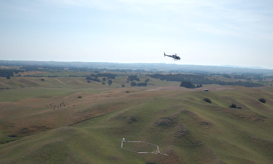
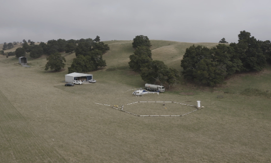
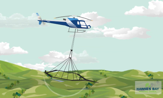
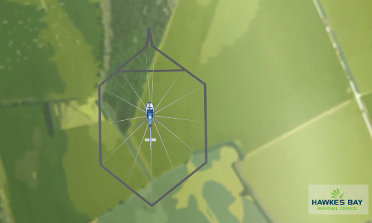
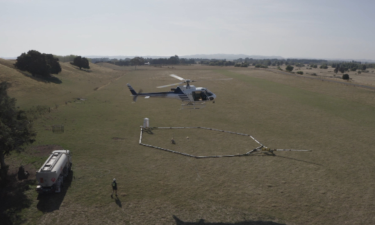
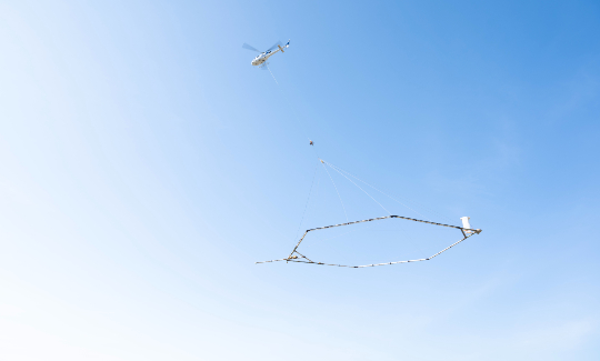
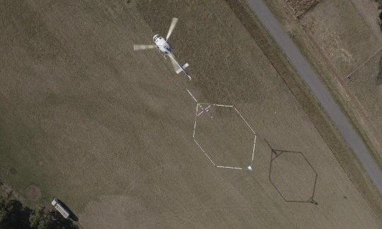
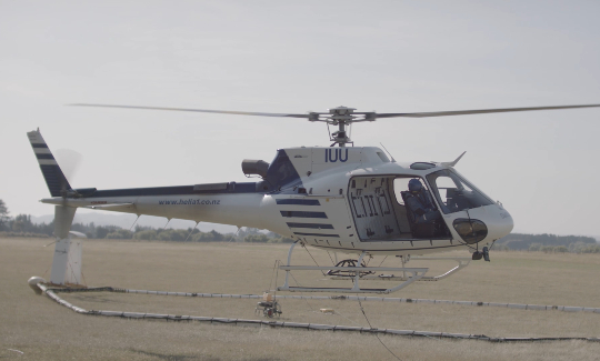
Heli A1 has competed numerous airborne geophysical surveys around New Zealand. Specialising in low level mapping (<30m) using under-slung (towed) systems. These Electromagnetic systems are typically on a 150ft line beneath the helicopter, so they require skilled pilots to operate them safely.
Heli A1 provides airborne geophysical survey services through New Zealand as well as internationally. Our Airbus AS350B3 helicopter has proven to be one of the most efficient helicopters for this type of operation with its increased range over other models of aircraft.
Aerial geophysical surveying/mapping offers an efficient way to gather large pools of data quickly and efficiently.
We can assist in public notification, heli-pad sourcing, and importation of equipment to New Zealand. Contact us today to see how we can assist with your project.
Heli A1 is the only New Zealand helicopter operator who is a member of the International Airborne Geophysics Safety Association (IAGSA).
Contact us